Field Research:
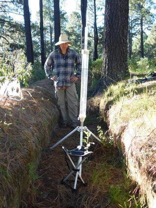
Measuring hydraulic conductivity on the Matlalcueyetl volcano in Mexico. Photo by Carlos Ramos-Scharrón.
|
|
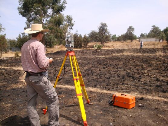
(below) Designing experimental terrace plot in Ahuashuatepec, Tlaxcala, Mexico.
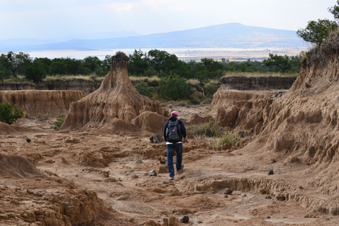
(below) Scouting soil erosion in Xalostoc, Tlaxcala, Mexico.
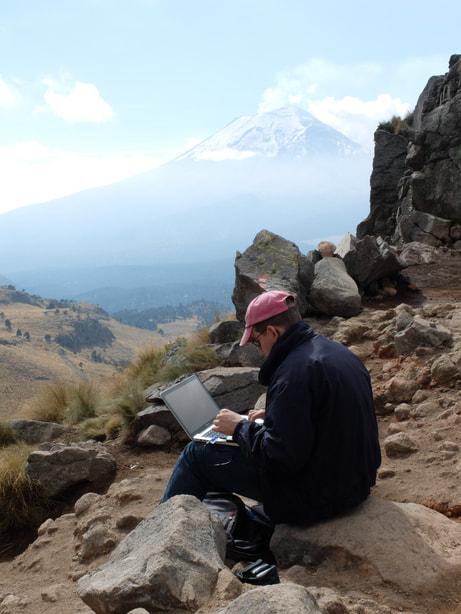
(below) Recording observations near the convergence of two weather systems at ~4,250 m.a.s.l. with the Popocatépetl volcano in background, Mexico.
(below) About to enter the bishopric archives in Trinidad, Cuba. Photo by David C. LaFevor.
